Paper Map and Compass Backup for Bikepackers: The Analog Fallback
20+ years testing gear in Colorado backcountry
Do You Need a Paper Map and Compass for Bikepacking?
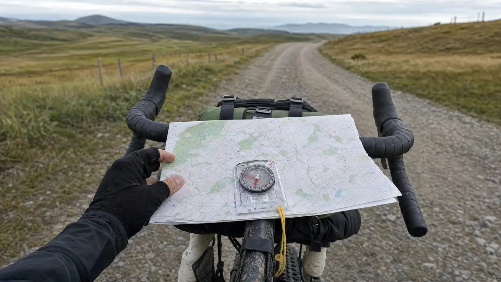
Yes, on remote or multi-day routes. But what you need is not what a hiker needs: a large-area map at a coarser scale, one simple baseplate compass, and about thirty minutes of practice. Not a wilderness navigation kit. We earn a commission on purchases made through the links below, at no extra cost to you.
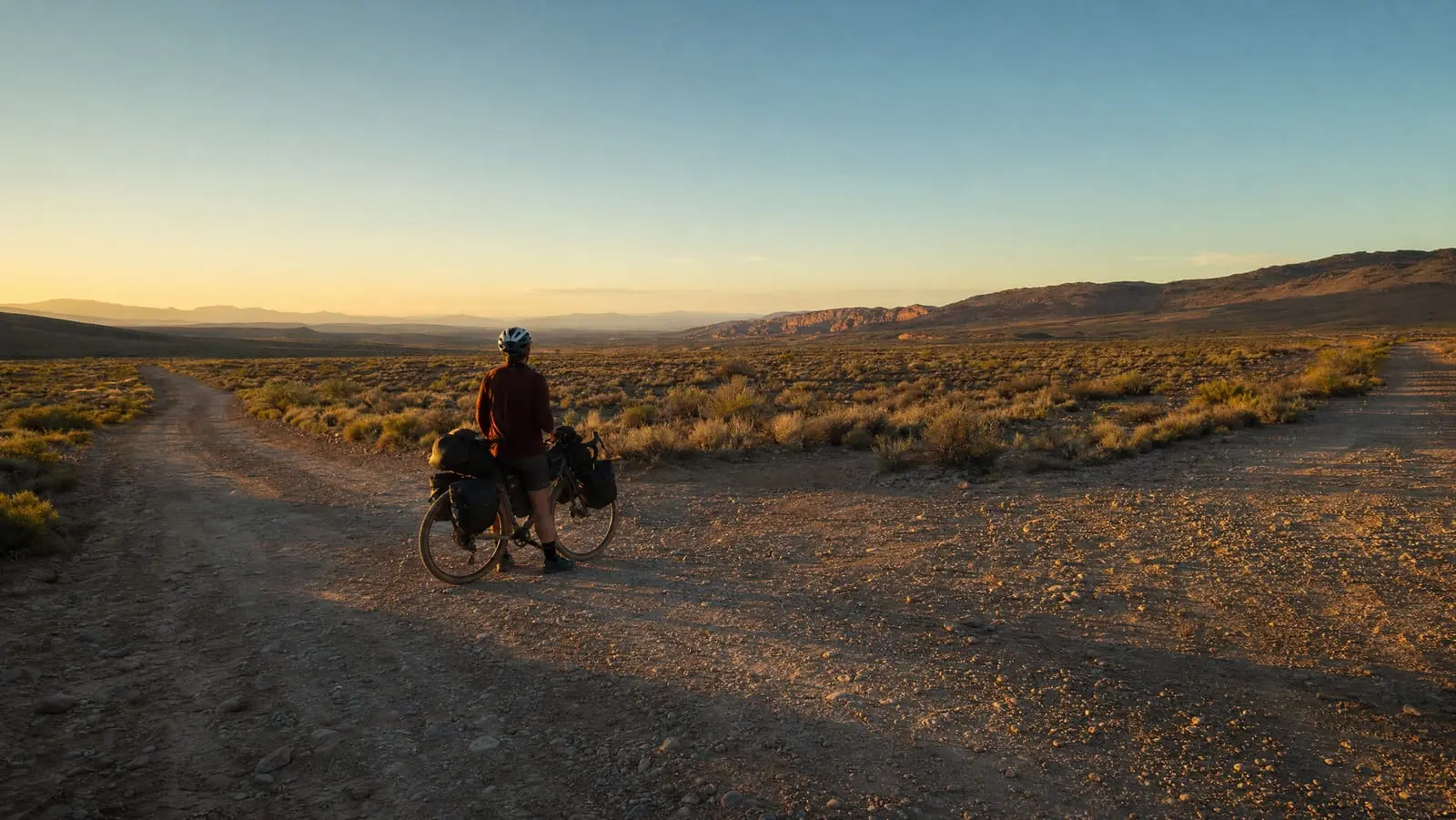
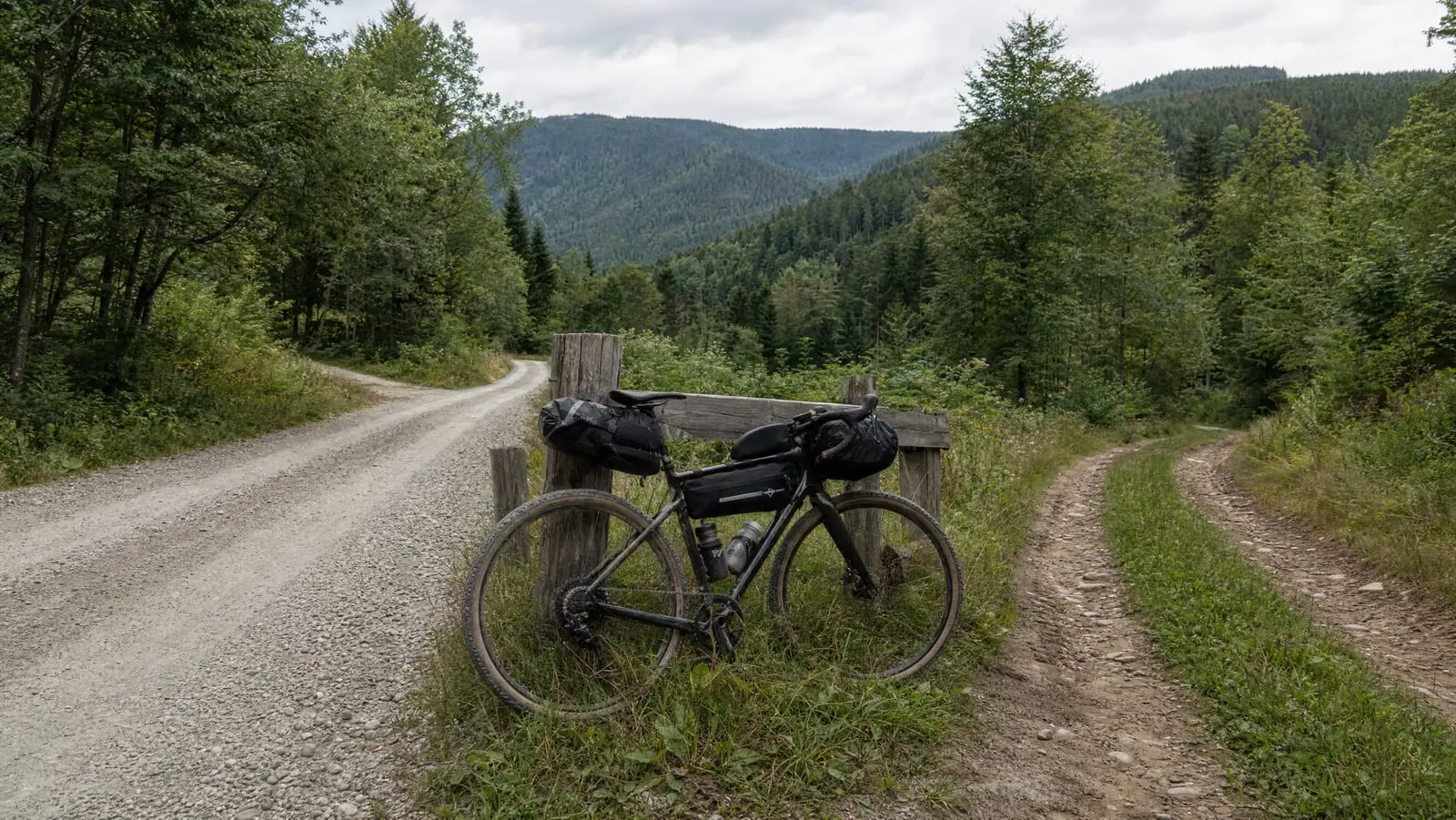
Most "carry a map and compass" advice is recycled from backpacking and does not survive contact with a bike. A bikepacker's analog backup has a different job. You are almost always on a road or a track, you are moving three or four times faster than a walker, and your failure mode is not "lost in the woods" — it is "the phone is dead and I do not know which of these three gravel roads goes to town."
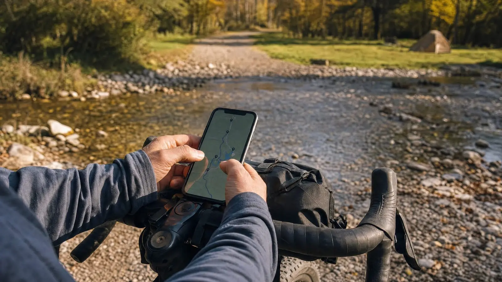
That reframing shapes everything below: a coarser map covering more ground, a simpler compass, and skills that are orientation and road-matching rather than precise bearings. Paper sits at the far end of the redundancy chain in planning and navigating a bikepacking route — behind the device, behind offline maps for bikepacking, behind the battery.
Now the uncomfortable part: a map and compass are useless to someone who has never used them, and most riders carrying one cannot use it. So this is an argument for the pairing — the tool plus the practice. Skip the practice and a printed cue sheet with a bigger battery is a better use of the same weight.
When the Analog Backup Earns Its Weight
This is a conditions question, not a rule. Four things move paper from superstition to sensible, and they stack.
Long gaps between towns and uncertain charging. If the next place you can buy a cable, ask a human or read a trailhead board is 60 miles off, a dead device stops being an inconvenience. Paper is the second answer; the first is a charging strategy you will actually execute.
Cold. The strongest argument for paper: lithium cells lose usable capacity as they get cold, and a phone reading 40 percent at breakfast can die by 11 a.m. A map has no state of charge. If you ride in winter, carry one.
Unfamiliar or foreign roads. Road naming you do not know, signage you cannot read at speed, a SIM you have not tested. A regional sheet is cheap orientation insurance.
Solo. Nobody else's phone is the backup, and riding alone raises the cost of every point of failure.
And the converse, plainly: on a signed rail trail two hours from home with a charged phone, a paper map is a talisman, not a tool. It will ride in your frame bag for three seasons, go soft at the folds, and never come out.
A map you cannot orient is not navigation equipment. It is 40 grams of reassurance.
The Map: Scale Is the Whole Decision
One sentence makes scale click: the second number is how much ground fits into one unit of paper. At 1:24,000, one inch of map is 24,000 inches — about 2,000 feet — of ground. Smaller second number, more detail and less area. Bigger, the reverse.
That matters because the default American paper topo is detailed and small. According to the USGS, its US Topo series has the "same extents as the popular 7.5-minute, 1:24,000-scale quadrangle maps released 1947 - 2006" — one sheet spanning 7.5 minutes of latitude by 7.5 minutes of longitude. The consequence is what counts: a rider covering 40 to 60 miles a day rides off a 1:24,000 sheet before lunch, and a trip's worth is a stack.
So the hiking default is the wrong default on a bike. Go coarser — a regional sheet somewhere in the 1:100,000 to 1:250,000 range — trading contour detail you were not going to read for coverage you will. That trade is right because you are following roads and junctions, not terrain.
Printing your own map from a planning tool
The best option, because you choose both scale and coverage. CalTopo's print dialog lets you print at an exact scale — its documentation gives 1:24k and 1:50k as examples — or switch on custom scale, which, per its PDF printing documentation, "allows you to drag the box edges to cover exactly the amount of area you want on the print". Pushing the scale to a coarser round number is how a whole corridor lands on one sheet.
Ride with GPS comes at it from the route side: its help centre documents a route PDF containing the map, a cue sheet or both, with numbered cues cross-referenced between the two and page sizes from Letter up to A2. Whichever planner you already use probably decides this; we compare them in the best bikepacking navigation apps.
Buying or downloading a ready-made sheet
If you would rather not print, start with the USGS. Its FAQ on finding, downloading or ordering topographic maps says topoView offers "all dates and all scales of topographic maps" as free digital downloads, that topoBuilder will build an OnDemand Topo centred wherever you choose and deliver it digitally "free of charge", and that the USGS Store is "the only site for ordering paper topographic maps."
Note the gap: OnDemand Topos are digital only, so a custom paper sheet is still one you print yourself. And for a coarse overview, a folded state road map from a bookshop costs less than a burrito.
The pairing that works: strip plus overview
Carry two maps, not one. A printed strip map of your corridor handles the route — turns, towns, expected junctions. A coarse regional overview handles the day you are no longer on your route, which is the only day either map gets used. The strip cannot help you there; by definition you have left it.
That second sheet is what makes a bail-out real rather than theoretical. We walk through the decision in off-route recovery; the short version is that you need the next paved road, the nearest town and the direction of the nearest river, and none of that fits on a strip.
What a Bikepacker Needs From a Compass
Four things matter, and the list is shorter than the marketing suggests.
A transparent baseplate. The point is that you use the compass on the map, laid over it, lining the map's north up with the needle. Anything you cannot see through is a worse tool for this than a $5 button compass.
Declination handling. Declination is the angle between magnetic north and true north, and NOAA's National Centers for Environmental Information are blunt about the part that bites: "Magnetic declination changes over time, and with location." NCEI publishes geomagnetic calculators that return a value for specific coordinates and dates, so look yours up before the trip. The upshot: a declination figure printed in the margin of an old map is probably wrong now.
Luminescent markings. You will read it at dusk, in the rain, one-handed.
A straight edge long enough to be useful. You lay it between where you think you are and where you want to be, and a tiny baseplate makes that awkward on a folded sheet.
Things that mostly do not matter on a bike: a clinometer, which measures slope angle for avalanche terrain rather than gravel; a global needle, irrelevant if you stay in one hemisphere; a sighting mirror, which buys bearing precision you will not use on a road.
And the one that surprises people: on a bike you almost never need a precise bearing. You need to know which way the map faces. Orienting the map is roughly 90 percent of the job, and the cheapest compass here does that as well as the dearest.
The Best Compass for Bikepacking: Four Picks
We have not put these through a season of wet gravel, so read this as our judgement of the published specs against the job above, not a field test. Prices are as of September 2026.
SUUNTO A-30 NH USGS Compass — best value
A steel needle on a jewel bearing, luminescent markings, a magnifying lens on a transparent baseplate, no batteries: three of our four requirements at $30.00 as of September 2026. The gap is declination, which is fixed rather than adjustable, so you do the arithmetic in your head or accept the error — and for a tool whose job is telling you which way the map faces, that error rarely changes the decision. The right compromise for a compass that will spend most of its life unused.
SUUNTO A-30 NH USGS Compass
A compact baseplate compass that does the one thing a bikepacker actually needs — orienting the map — for a third of the price of the fancy ones. Fixed declination is the compromise you are making.
- Transparent baseplate with a magnifying lens
- Luminescent markings for low light
- No batteries required
- Steel needle on a jewel bearing
SUUNTO M-3 NH Compass — best all-round
The M-3 is the A-30 with the compromise removed: adjustable declination, set once for your region and forgotten, plus imperial as well as metric scales for a US topo printed in inches. At $65.00 as of September 2026 it costs roughly twice as much, and the honest question is whether you will use the adjustment. Pure insurance? Spend the difference elsewhere. Actually navigating? Buy this one. Still northern-hemisphere balanced.
SUUNTO M-3 NH Compass
Adjustable declination and imperial scales make this the one to buy if you plan to navigate with it rather than just carry it. The A-30 covers the basics for half as much.
- Adjustable declination
- Metric and imperial scales
- Luminescent markings
- Magnifying lens on a transparent baseplate
SUUNTO MC-2 Compass — best for precise bearings and international trips
The MC-2 adds a sighting mirror with a hole and notch, a clinometer, UTM scales, a declination tool and a needle balanced for global use. Those earn their keep in two situations: a trip across the equator, and terrain where you leave roads behind. At $70.00 as of September 2026, for gravel in the lower 48 it is more compass than the job needs, it is the bulkiest of the four, and the mirror hinge is the one moving part on a tool that otherwise has none.
SUUNTO MC-2 Compass
A mirror sighting compass with a global needle, so it works in either hemisphere. Real capability you will mostly not use on a road, in the bulkiest package here.
- Balanced for global use, either hemisphere
- Mirror sighting hole and notch
- Declination adjustment tool included
- Built-in clinometer
Silva Explorer PRO Compass — best for night navigation and gradient reading
Silva's pitch is light: the luminous markings are rated as usable for up to 4 hours once charged by daylight or a flashlight, which matters if your days routinely end after dark. You also get a declination adjuster, a magnifying lens and a DryFlex grip that works with wet hands. There is no mirror, so you sight along the baseplate — fine for road bearings, less precise on a distant landmark. Stock was thin when we checked, and the slope card is near-useless on a bike. At $53.99 as of September 2026, buy it for the night reading, or buy the M-3.
Silva Explorer PRO Compass
Luminous markings rated for up to 4 hours after charging make this the easiest of the four to read after dark. No mirror, and the slope card is dead weight on a bike.
- Luminous markings usable up to 4 hours once charged
- Built-in declination adjuster
- DryFlex rubber grip
- Magnifying lens for map work
Carrying It So It Survives: Map Case and Cue Sheet
There is an honest hierarchy here, and the cheapest option is not the worst.
A freezer bag works and costs nothing. A heavyweight zip bag keeps a folded map dry through a long wet day and you can read through it without opening it. Most riders should start and stop here.
A proper waterproof pouch is better and heavier. It survives being sat on, packed against a stove and dropped in a creek, and it keeps the map with the permits and cash in one findable place.
A waterproof cue card is the fastest thing to read while moving, because you can read it at 12 mph without stopping. It belongs where your hands already are — a top tube or feed bag, or taped flat to the top tube.
One bike-specific problem generic advice never mentions: you cannot unfold a full map sheet on a windy roadside. Fold it to the day's panel before you leave home, route facing out, and refold it in the tent at night rather than at the junction where you need it.
Magpul DAKA Waterproof Window Pouch, Small — best waterproof carry
Be clear about what this is: waterproof storage with a translucent window for identifying contents, not a roll-up map case you navigate through. In the Small size a full topo sheet folds to one panel at a time, and the window shows what is inside rather than letting you read contours through it. Judged as what it is, it is good — lateral waterproof YKK zippers, rated by Magpul for possible submersion, paracord pulls you can work with gloves on, two oversized carabiner pass-throughs. At $23.70 as of September 2026, buy it to keep a folded map, a cue card and cash dry.
Magpul DAKA Waterproof Window Pouch, Small
Waterproof storage with a see-through panel for a folded map, cue card and cash — not a map case you read through. The gloved-hands zipper pulls and carabiner loops are the bike-relevant details.
- Waterproof YKK zippers mounted laterally
- Rated by the maker for possible submersion
- Translucent window for identifying contents
- Two extra-large carabiner pass-throughs
Rite in the Rain Weatherproof Hard Cover Notebook (No. 970F) — best cue sheet medium
For one object holding cue sheets, campsite notes, water sources and the motel's phone number, this is the durable version: weatherproof paper, a hard cover to write against on your knee, 4.75 by 7.5 inch pages, a universal grid that suits sketch maps and lists alike. Weatherproof paper wants a pencil or an all-weather pen — a standard ballpoint struggles on a wet page, which is precisely when you need it — and at $21.50 as of September 2026 it is bulkier and pricier than a printed cue sheet in a sandwich bag. Notebook for a two-week trip, sandwich bag for a weekend.
Rite in the Rain Weatherproof Hard Cover Notebook (No. 970F)
Weatherproof paper and a hard cover you can write against on your knee, which is the whole argument for it over a printed sheet in a bag. Bring a pencil.
- Weatherproof paper
- Hard cover for writing without a desk
- Universal grid page pattern
- Made in the United States
The Thirty-Minute Skill Set: Map Reading Basics for Cyclists
Three drills, done once in your neighbourhood in daylight before the trip. That is the whole curriculum.
Drill one: orient the map to the ground
Lay the map flat, put the compass on it, and turn the map — not the compass — until the map's north lines run parallel with the needle's north. The map now matches the world: what is on your right on paper is on your right in front of you. This single drill solves most bikepacking navigation problems, because the question you are really asking is which road you are on and which way you face.
Drill two: thumb the map
Put your thumb on your current position and slide it as you ride, re-establishing it at every confirmed feature — a bridge, a named junction, a level crossing. The point is continuity. Getting lost is almost always a failure to notice when you stopped knowing where you were, and thumbing turns "somewhere in this valley" into "400 metres past the bridge."
Drill three: read a junction by its shape
Stand at a junction near home with the map oriented and match what you see to what is printed: the angle the side road leaves at, whether it forks or crosses, which arm climbs. Then find a second junction that looks similar on paper and work out what distinguishes them. This resolves the real failure mode — three gravel roads, no signs, one of them goes to town.
Those three cover almost everything. Taking a bearing off a distant peak, triangulating from two landmarks, reading a contour interval to predict a gradient: hiking skills, and on a road you will very likely never use them. Learn them if you enjoy it, but do not let not knowing them stop you carrying the map.
The Verdict: Buy the Pairing, Not the Object
Carry the analog backup when the conditions say so — remote routes, uncertain charging, cold, foreign roads, riding solo — and carry it in a specific form: a printed strip map of your corridor, a coarse regional overview for the day you leave it, a $30 baseplate compass, and one waterproof card with tomorrow's turns and bail-outs. That is well under half a pound.
But buy the thirty minutes too, or do not buy the compass. A rider who has practised these three drills with a freezer bag and a laser print is better equipped than one carrying a $70 mirror compass they have never opened.
For the rest of the stack this backs up — planning the line, loading it on a device, keeping that device alive so the map stays folded — see our bikepacking route planning and navigation guide.