How Many Miles Per Day to Plan on a Loaded Bike
20+ years testing gear in Colorado backcountry
How Many Miles Per Day Should You Plan for Bikepacking?
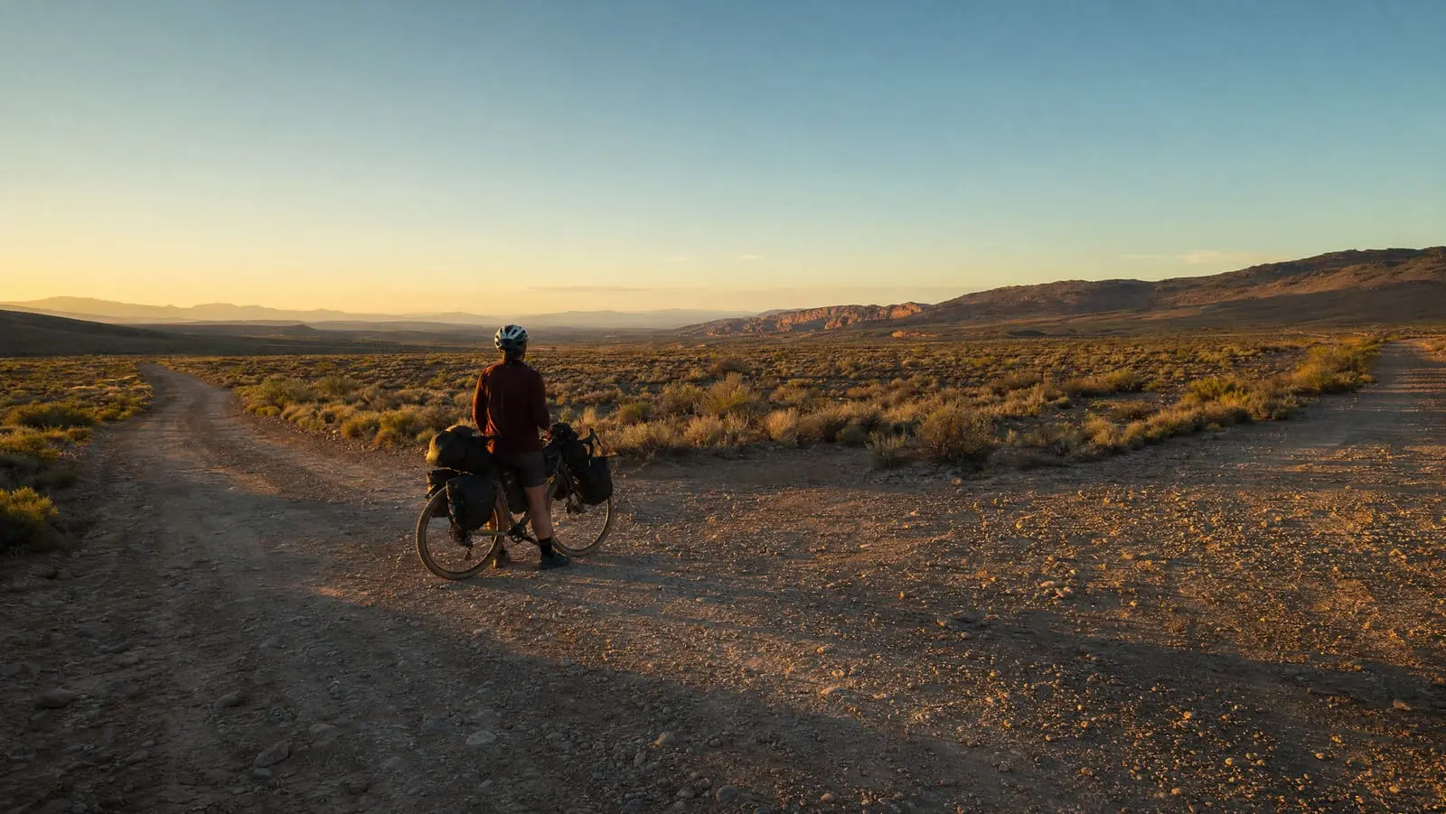
Plan 30 to 50 miles a day on a loaded bike, and put a first trip at the bottom of that. But the real answer to how many miles per day bikepacking allows is that the range is that wide because miles are the wrong unit. Two 60-mile days can differ by six hours of saddle time.
The one with 6,000 feet of climbing on chunky gravel is not the same day as the one along a river on hardpack. Planning in miles means you find that out at 4 p.m., forty miles from camp, with the light going.
So budget the day the way it actually behaves: moving hours multiplied by a surface-adjusted speed, then multiplied by a stoppage factor. Elapsed time is what decides whether you reach camp before dark, and elapsed time is the number almost nobody writes down. Everything else in planning a bikepacking route sits downstream of getting this one number honest.
Step 1: Decide the Hours You Are Willing to Ride
Start with time, because time is the thing you actually have. A day is not "60 miles." A day is "seven hours between rolling out and putting the bike down."
Be honest about it. In our experience most people enjoy five or six hours on a loaded bike. Seven is a real day. Nine or ten tends to cost you something the next morning. Pick the number you would still accept on day three, not the one you feel capable of on the first morning.
Then decide what those hours are for. A trip where you swim, cook properly and read in a hammock is a five-hour riding day with a long lunch. A trip where the point is covering ground is an eight-hour day and a boil-in-bag dinner. Both are legitimate; only one supports 70 miles. Hours on the bike and hours in camp come out of the same daylight budget.
Step 2: Pick a Realistic Loaded Bike Speed for the Dominant Surface
Now convert hours to distance using the surface you will spend most of the day on — not your unloaded Saturday average. A loaded setup adds weight, frontal area and, on rough ground, a lot of caution. What matters is both what the ground does to your rolling speed and what it does to your willingness to keep pedalling. Loose gravel taxes both. Rail-trail hardpack taxes neither.
Adventure Cycling's own published itineraries are a useful reality check on this. Their self-contained Great Divide Montana tour covers 298.2 miles across eight riding days — a published average of 37.3 miles per riding day — on a route they rate Level 4 for fitness, a tier their own scale describes as "Average daily mileage lies between 45 and 60 miles." The terrain pulls the real itinerary well under the tier's nominal mileage. That gap is the whole subject of this article.
Our planning ranges by surface and rider
The table below is our editorial judgement, not measured data. These are the heuristics we use to rough out a day before looking at the profile. We have not surveyed riders or run a test. Treat them as a starting assumption you will adjust after your first real day.
The day-length columns already include a stoppage factor, so they are elapsed-day distances — rolling out to putting the bike down. They assume rolling terrain; heavy climbing comes off the top.
| Dominant surface | Our planning moving speed | First trip (5-6 hr day) | Comfortable (7 hr day) | Experienced (9+ hr day) |
|---|---|---|---|---|
| Pavement, rolling | 11-13 mph | 35-45 mi | 55-70 mi | 80-100 mi |
| Smooth rail-trail or hardpack | 10-12 mph | 30-40 mi | 50-65 mi | 75-95 mi |
| Mixed gravel with some climbing | 8-10 mph | 25-35 mi | 40-55 mi | 60-80 mi |
| Chunky, loose or sandy gravel | 6-8 mph | 18-28 mi | 30-40 mi | 45-60 mi |
| Doubletrack and singletrack | 4-7 mph | 12-22 mi | 20-30 mi | 35-55 mi |
Two notes. "Experienced" here means someone who has ridden multi-day loaded trips recently, not someone who is fit — fitness gets you up the climb, but saddle time is what lets you do it again tomorrow. If your engine is the limiter rather than your tolerance, that is a training problem and a different article.
And in our experience comfort sets the ceiling more often than fitness does: riders commonly report that hands, feet and sit bones end more days than legs, which is why bike fit on a loaded bike is a distance question.
Mileage is the wrong unit. A bikepacking day is hours of daylight spent at a surface-adjusted speed, and the miles are just what falls out the other end.
Step 3: Add the Elevation, and Read the Profile for Shape
Here is the mental model that fixes most bad day plans: sustained climbing collapses your speed far more than descending recovers it. The average of a hilly day lands much closer to your climbing speed than to the midpoint between climbing and descending.
The arithmetic makes it obvious. Take a 60-mile day, 30 miles up and 30 miles down. You climb at 5 mph, which takes six hours. You descend at 20 mph, which takes an hour and a half. That is 7.5 hours of moving for 60 miles — an average of 8 mph, nowhere near the 12.5 mph you would get by splitting the difference. Time spent is dominated by the slow part, always.
This is why the profile matters more than the distance, and why total feet of climbing alone is a poor predictor. Averages hide everything. The Adventure Cycling Great Divide Mountain Bike Route is published at 3,097.3 miles with 207,535 feet of climbing southbound — about 67 feet per mile flattened into an average. No day on it is the average day. Some are valley floor; some are a pass.
What to look for in the profile
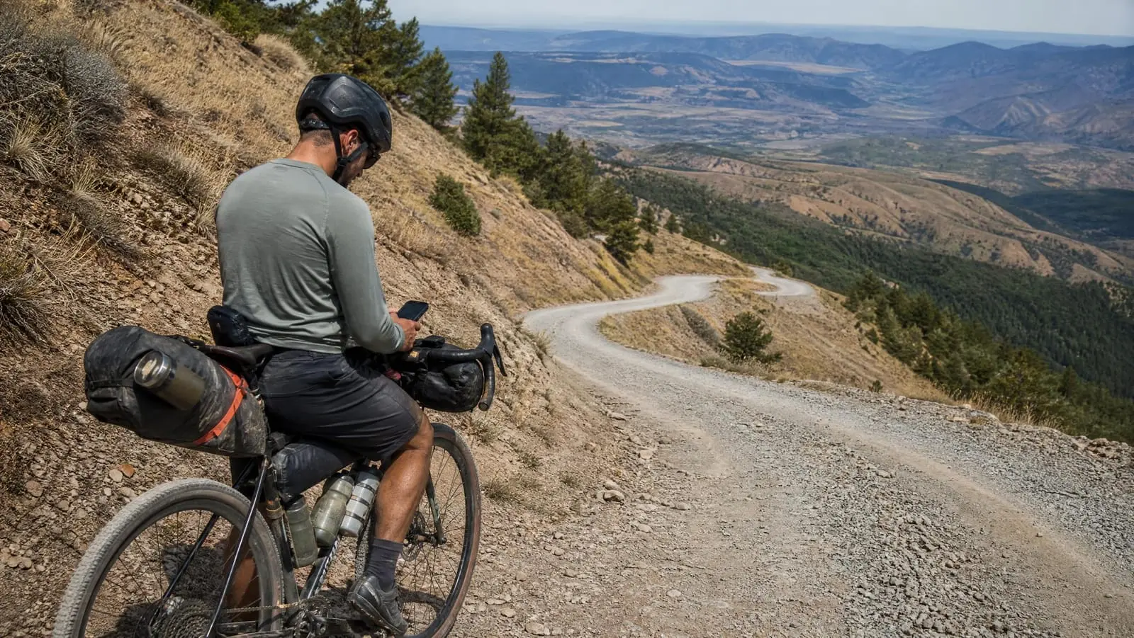
Open the day in whatever planner you use and look at three things. Sustained versus rolling: one 3,000-foot climb is a different day from thirty 100-foot rollers, even though the totals match. Where the climbing sits: a big climb in the last 15 miles, on tired legs and fading light, is worth planning around. And the gradient of the steep parts.
Our planning rule is that once a sustained grade passes roughly 6 percent, a loaded rider's speed stops scaling and starts falling off a cliff — walking pace becomes competitive, and on loose surfaces it sometimes wins. That threshold is our judgement, not a measurement, and yours will differ with gearing and load. The point is to find the segments where it applies and stop pretending they will go at your day average.
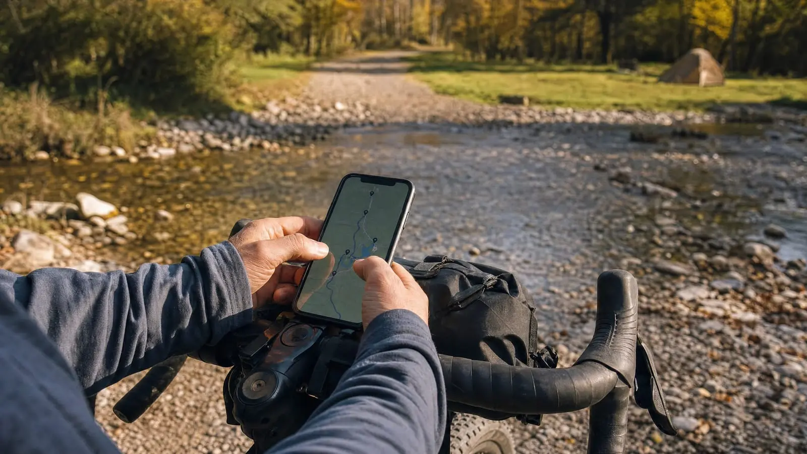
Most planners show gradient by segment if you ask. We cover which tools do this well in the best bikepacking navigation apps, but any of them will draw a profile you can eyeball for shape.
Step 4: Apply the Stoppage Factor
This is the number everyone forgets, and it is the difference between a plan and a wish. Your bike computer reports moving time. Your day is elapsed time.
Everything in the gap is real: filtering water, eating, layers on and off, the navigation check at the unsigned junction, a dropped chain, the resupply that somehow took 50 minutes.
Our planning factor is 0.7 to 0.8 — that is, moving time is 70 to 80 percent of elapsed time on a normal bikepacking day. Again, that is our heuristic, not research. Use 0.8 for a simple day on a rail-trail with a store at the midpoint. Use 0.7 or lower for a remote day with water filtering, route-finding and a town stop.
The maths runs both directions, which is the useful part. Seven elapsed hours at a 0.75 factor is 5.25 hours of moving. At 9 mph on mixed gravel, that is 47 miles. Not 63. A day plan with no stoppage factor overstates your distance by a third before you have even looked at the hills.
Step 5: Sanity-Check Against Daylight, Then Subtract an Hour
You now have an elapsed-hours figure. Check it against the light you will actually have, and do not assume twelve hours. Day length swings hard with latitude and season, and it is easy to look up: the US Naval Observatory publishes a duration of daylight table for a full year for any location and any year from 1700 to 2100. Pull it for your real coordinates and dates. A September trip far north is a meaningfully shorter working day than the July one you are remembering.
Then subtract an hour from the usable window. Arriving at dusk to look for a campsite is the classic failure, because the search takes time you did not budget and a site that looked fine on satellite imagery sometimes turns out to be posted private. An hour of margin buys a second option.
Once the day lengths are settled, split the route to match. We build one file per riding day rather than one for the whole trip — how to build a GPX route covers the mechanics, but the benefit is that a day-sized file makes the device's remaining-distance readout mean something.
Why Day One Lies to You
Day one is the day you are freshest, most excited and least sore. It is also the worst possible sample for the rest of the trip.
The pattern riders report consistently is a taper, not a plateau. Legs hold up better than expected; what degrades is sleep quality on a pad, saddle tolerance, hand and foot comfort, and the appetite to get moving in the morning. None of that is a study — it is the widely reported experience of people who ride multi-day trips, and it is what we plan around.
So plan the average day below your best day. We budget the trip average roughly 20 percent under what we know we could do fresh, and we do not front-load. Putting the biggest day first because "we will be fresh" is, in our experience, what produces the worst day three.
One practical consequence: on a trip longer than about four days, build in a genuinely short day before you need it. A 25-mile day placed on day four does more for the back half than a rest day on day six, and recovery between days is what makes the fourth day resemble the first.
Surface: The Variable the Map Understates
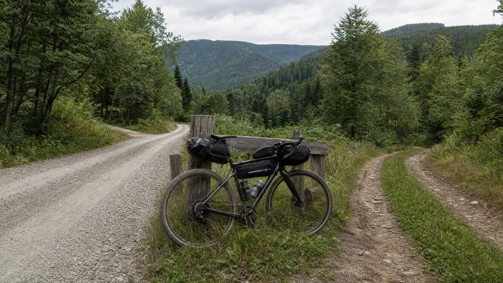
Surface is the single biggest multiplier on all of the above, and it is the one your route file is worst at telling you. "Unpaved" covers everything from a groomed rail-trail to a sand wash.
Official descriptions help when they exist. The National Park Service says the C&O Canal towpath surface is for the most part an even hard-packed dirt trail — a very different planning assumption from an unmaintained forest road. Missouri State Parks publishes the Katy Trail at 240 miles between Clinton and Machens, a converted rail corridor where a 60-mile day is ordinary. The same 60 miles on the unpaved sections of the Great Divide is not the same request.
Where no official description exists, you are back to satellite imagery and rider reports. Finding real gravel surface data is its own job, and it is worth doing before you fix a single day length.
Budget the Day, Not the Distance
Run the five steps on your next route file and you get a number you can defend: honest hours, a surface-adjusted speed, climbing accounted for by shape rather than total, a stoppage factor of 0.7 to 0.8, and an hour of daylight held back.
The number will usually be smaller than the one you wanted. That is the method working. A trip planned at 40 miles a day that finishes early every afternoon beats one planned at 60 that finishes in the dark twice — and it is the one you will want to do again.
For the rest of the workflow this sits inside, from drawing the line to verifying it to loading it on a device, see our complete guide to bikepacking route planning.