How to Load a GPX Route onto a Garmin, Wahoo or Coros
20+ years testing gear in Colorado backcountry
How to Load a GPX File onto a Garmin, Wahoo or Coros
To load a GPX file onto a Garmin Edge, connect it to a computer and copy the file into the Garmin folder's NewFiles directory, then safely disconnect — Garmin says the device processes what it finds there and converts it for use. On a Wahoo ELEMNT or a Coros DURA the documented import path runs through your phone instead: you open the file on your phone, choose the brand's app, and let the app push the route to the head unit.
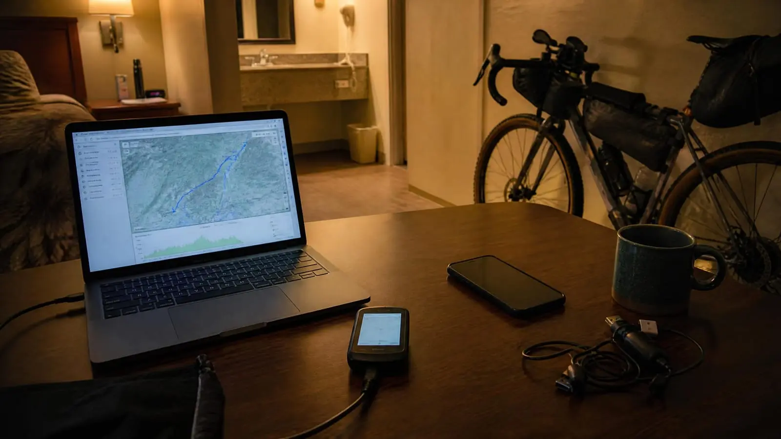
That sounds like trivia until day four, when the laptop is at home and motel wifi is the only connection you have. These three ecosystems do not just have different menus. They have different transfer philosophies, and the one you practised at the kitchen table may not be the one available on the road. If you are still upstream of this — deciding where the file comes from at all — start with how to plan a bikepacking route and come back once you have something to load.
This article covers only the last step: moving a finished file onto a device.
First, Is It a Track or a Route?
A GPX file can hold a bare track — a breadcrumb line of coordinates — or a route carrying routing intent and turn cues. What your head unit does after the transfer depends heavily on which one you handed it, and no amount of correct button-pressing fixes a file that never contained cues.
Wahoo is unusually explicit about this. Its documentation states that route files only carry embedded cues when synced over Wi-Fi or over Bluetooth from RideWithGPS or Komoot, and that on ROAM v1/v2 and BOLT v2 the unit generates turn-by-turn itself for files without embedded cues, up to a 200 km limit (Wahoo Fitness Support).
So decide what you need before you transfer anything. If you want spoken or beeped turn prompts rather than a line to trace, the file's contents settle that. We cover the distinction properly in how to build a GPX route; everything below assumes your file is already the kind you want.
Garmin: The One That Still Looks Like a Flash Drive
Garmin gives you two documented paths, and they fail in different circumstances — which is exactly why it is worth knowing both.
The folder drop
Garmin's support instructions for manually installing a file onto an Edge are short: connect the device to the computer, navigate to the Edge drive, select the Garmin folder, then the NewFiles folder, place the file there, and safely disconnect. Garmin adds that the device then processes the files in NewFiles and converts them into .fit files for use, and that compatible Edge units can import .crs, .fit, .gpx and .tcx files this way (Garmin Customer Support).
Garmin\NewFiles
The Edge owner's manual describes how the device presents itself: depending on your operating system it appears as "a portable device, a removable drive, or a removable volume," and most file types have a named folder within the Garmin folder (Edge 1040 Owner's Manual).
Two details do most of the damage when people skip them:
- Disconnecting properly is part of the procedure. Garmin's steps end with safely disconnecting the device, and it is after that disconnect that the Edge processes NewFiles into a usable course. Garmin's published steps do not include a reboot; if a file never appears, power-cycling is the usual next thing riders try, but the documented trigger is the disconnect (Garmin Customer Support).
- Macs are a special case. Garmin states that Mac operating systems do not detect the device by default and that you must use Garmin Express software to interact with files on it (Edge 1040 Owner's Manual). If your only laptop is a MacBook, "just drag the file over" involves installing software first — do that at home, not in a campground.
Where the route then shows up on the unit varies by model. Look in the navigation or courses area rather than trusting a menu tree someone wrote for a different Edge three firmware versions ago.
The Garmin Connect path
The second path goes through Garmin's cloud. You need a Garmin Connect account; then create and save a new course or select an existing one, choose Send to Device on the Garmin Connect website or the equivalent control in the Garmin Connect app, and pick your Edge (Edge 1040 Owner's Manual).
The tradeoff is clean. The folder drop needs a computer and a cable but no account and no signal. Connect needs an account and a connection but no computer. On a long trip you will probably want both set up before you go.
Garmin's offline path is real, and it requires the one thing you deliberately left at home.
Wahoo: The App Is the Cable
Wahoo's ELEMNT line is configured and fed through its companion app rather than by dragging files onto a drive. Wahoo documents two ways to get an outside route onto an ELEMNT (Wahoo Fitness Support):
- Link a third-party account. Authorize Komoot, RideWithGPS, Strava or Trailforks in the app, then sync your whole route library to the computer over Wi-Fi, or push a single route over Bluetooth.
- Open a file on your phone. Download the .GPX, .TCX or .FIT file to the phone, open it, and select the Wahoo app when asked which app to use. That imports the route into your Wahoo account, from where it loads onto the computer.
Two requirements in that documentation matter more to bikepackers than to commuters. Wahoo lists an internet connection for the app under requirements for single-route importing and syncing, and a local Wi-Fi network for the computer itself when bulk-syncing a route library. And for the newer ELEMNT ACE, BOLT 3 and ROAM 3, Wahoo is blunt about why: your phone needs a data connection "so that the Wahoo app can upload the route file into the Wahoo Cloud to be converted into a viable route" (Wahoo Fitness Support).
Read that again with a dead zone in mind. The file can be on your phone, fully downloaded, and still not become a route until something reaches the internet.
Worth knowing before you build a workflow around it: the ELEMNT app does not contain a route builder. Wahoo says so directly — to create a route manually you use a third-party service like Komoot, RideWithGPS or Strava (Wahoo Fitness Support). Wahoo's route documentation describes only these app-mediated import paths. A USB connection does exist: Wahoo documents that an ELEMNT, BOLT 1/2 or ROAM 1/2 connected to a computer with a USB data cable supports file transfer over MTP for ride files and for route files in GPX or TCX, with routes kept in a routes folder (Wahoo Fitness Support). That page is written around getting files off the device, and Wahoo's own route-import instructions are the app ones, so we would not build a trip around copying a route on over USB.
Coros: Import in the App, Then Sync to the Device
Coros is also account-and-app centric, and its documentation is refreshingly concrete. To import an outside route, Coros says to download the route in GPX format, select the file, choose the COROS app when prompted, and press Save. To get it onto a DURA: open the Explore page, select the route library icon in the top right, open the route, tap Sync with Your Device, then Send (COROS Help Center).
Coros also syncs automatically from linked Strava, Komoot or Ride with GPS accounts, with the synced routes landing in the Route Library on the Explore page.
On size, Coros gives numbers instead of vagueness. It states there is no size limit for routes synced to DURA, but recommends keeping them under 2,000 kilometres, 100 MB, and fewer than 200 waypoints for best performance and processing speed (COROS Help Center). For any other brand, check your own device's documented limit rather than assuming these transfer.
One more Coros caution, aimed at exactly the kind of file bikepackers collect from route websites and forum posts: the files should be originally created in standard GPX format and come from trusted sources, because importing non-standard GPX files "may result in data issues" (COROS Help Center).
Loading a Route Without a Computer
This is the section that actually decides your trip. Strip out the laptop and the picture changes for every brand.
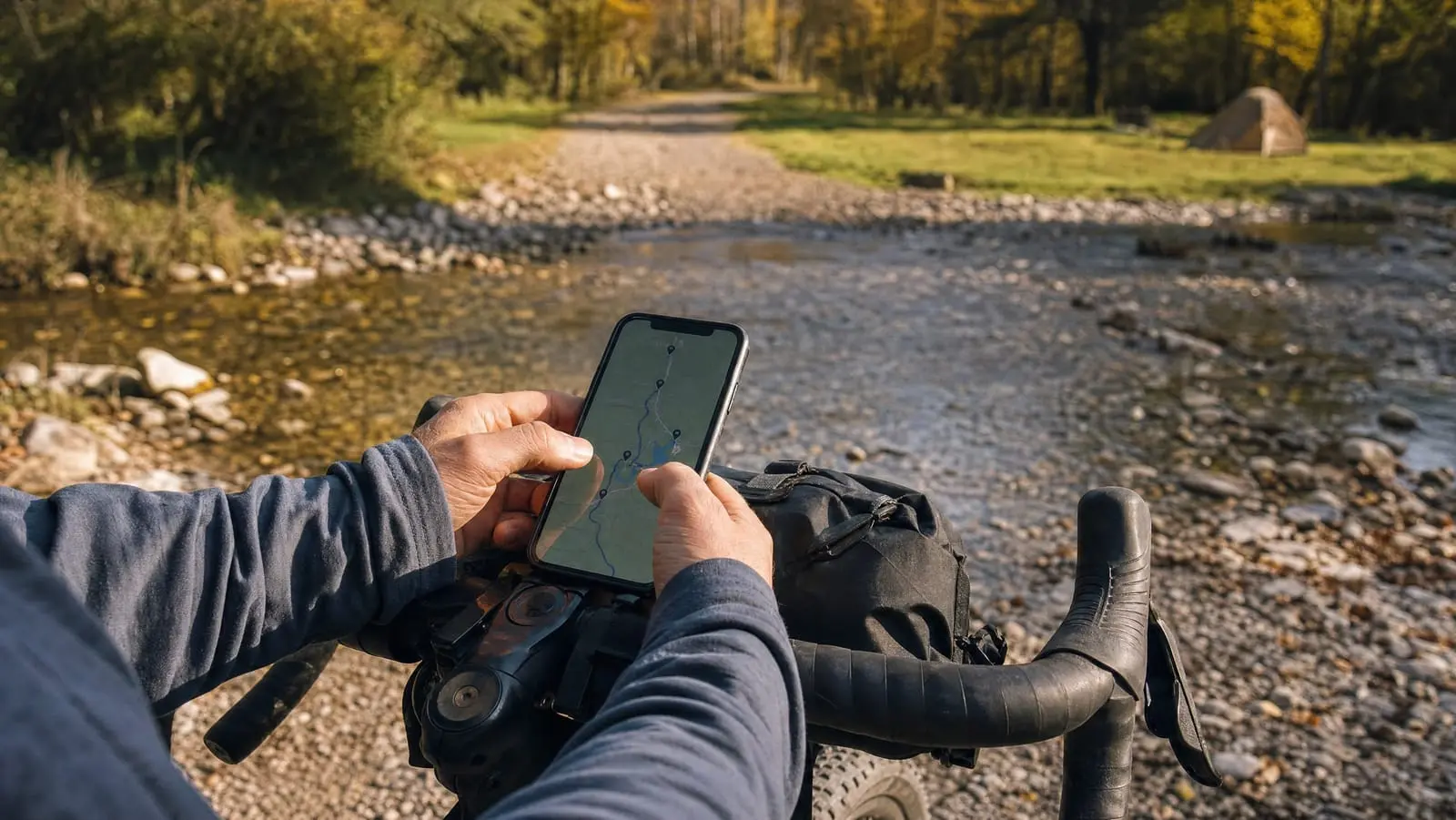
Wahoo and Coros are already phone-native — their documented import path starts with a file on your phone. But both lean on a connection. Wahoo requires internet for the app to import or sync a single route, and Coros's import and sync flow runs through the app and your account. Hotel wifi is usually enough. A gravel road at dusk is not.
Garmin is the inversion. Its no-account path is the one that needs hardware, and its phone path needs an account and a connection. If you are Garmin-based and travelling without a computer, treat Garmin Connect as your transfer mechanism and make sure you can log into it before you leave.
The cleanest workaround for all three is a cloud planning account that the device already talks to. Komoot, RideWithGPS and Strava are the names that recur across Wahoo's and Coros's own documentation, and once linked, tomorrow's route is a sync rather than a file-handling exercise. Choosing which one to live in is its own decision — we compare them in the best bikepacking navigation apps.
Then there is the fallback everybody forgets: email the GPX to yourself before you leave. An attachment in your inbox is retrievable from any borrowed device and survives a wiped phone, a dead head unit and an app that logs you out. Cheap insurance, zero setup.
Finally, do not let the head unit be the only copy of the plan. Keep offline maps on your phone so a failed transfer means squinting at a small screen rather than guessing at a junction. A phone-primary setup is a legitimate choice rather than a downgrade; if you go that way, sort out mounting and weather protection first with our guide to phone navigation mounts. Either way, charging is the constraint that eventually bites — see how to keep a GPS and phone alive on tour. And if the whole navigation stack goes down somewhere without coverage, your plan should not depend on it at all, which is the argument for a satellite-based way to call for help without cell signal. A paper map and compass backup deserves its own conversation, and so does getting back on course after a wrong turn.
What Gets Lost in Transfer
A file that loads is not the same as a file that works. Expect the following, and check for them before the ride rather than during it.
Turn guidance, if the file never had it. This is the big one, and Wahoo's documentation spells out the mechanics: cues survive only on certain sync paths, and where the device generates its own guidance there are documented distance limits.
Waypoint names. Long, descriptive names — the kind you use for mapping water and camp waypoints — commonly come across truncated or renamed on small-screen head units. We would keep names short and unambiguous rather than relying on the device to preserve them.
Notes and cue sheets. Free-text notes attached to a route in a planning app frequently do not survive export to a plain GPX at all. If a note matters, it belongs in your phone notes or on paper.
Elevation figures. Many devices recompute elevation and climb data from their own map or barometric data, so the total on the head unit may not match the number the planner showed you. That is normal, not a failed transfer.
Load Everything Before You Leave
The honest summary is that none of these three systems is bad, but only one of them documents an import path that is genuinely independent of a connection, and it is the one that asks for a cable. Garmin gives you a folder and a safe disconnect. Wahoo and Coros give you a phone and an account, which is more convenient nine days out of ten and useless on the tenth.
So build for the tenth day. Pick your transfer path deliberately, practise it at home on the device you are actually taking, and load every file before departure. If you are still choosing the hardware itself, our comparison of the best cycling computers for bikepacking weighs battery life and map handling against exactly these transfer differences. And for everything that comes before the transfer — drawing the line, checking resupply, building the days — go back to our route planning and navigation guide.